B.L. Freeborn © December 2025
This is a continuation of three previous posts. If you have not read them, you may want to at this link.
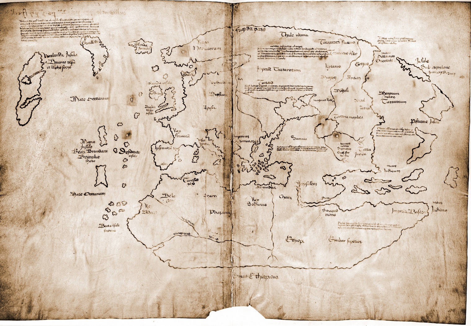
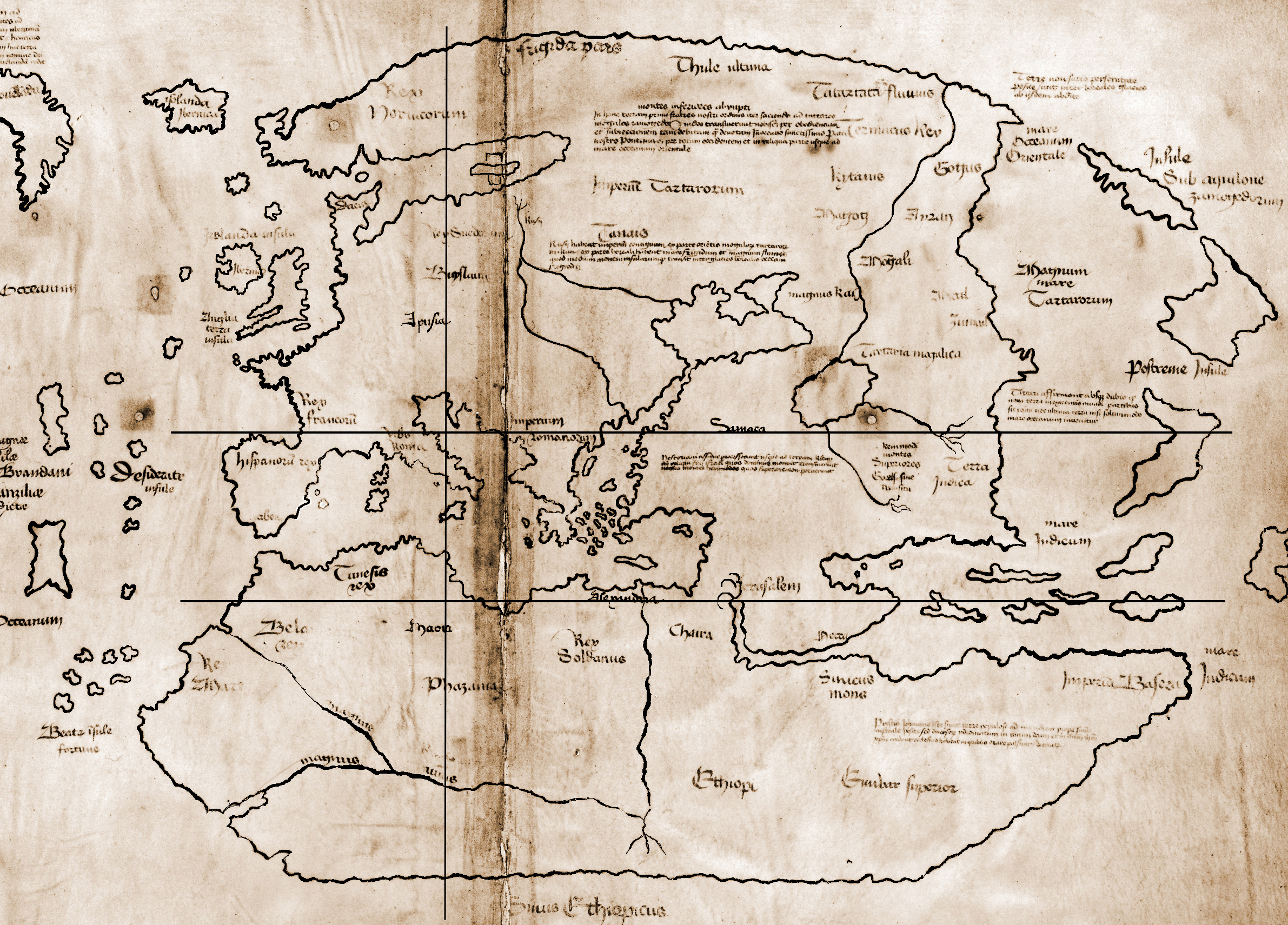
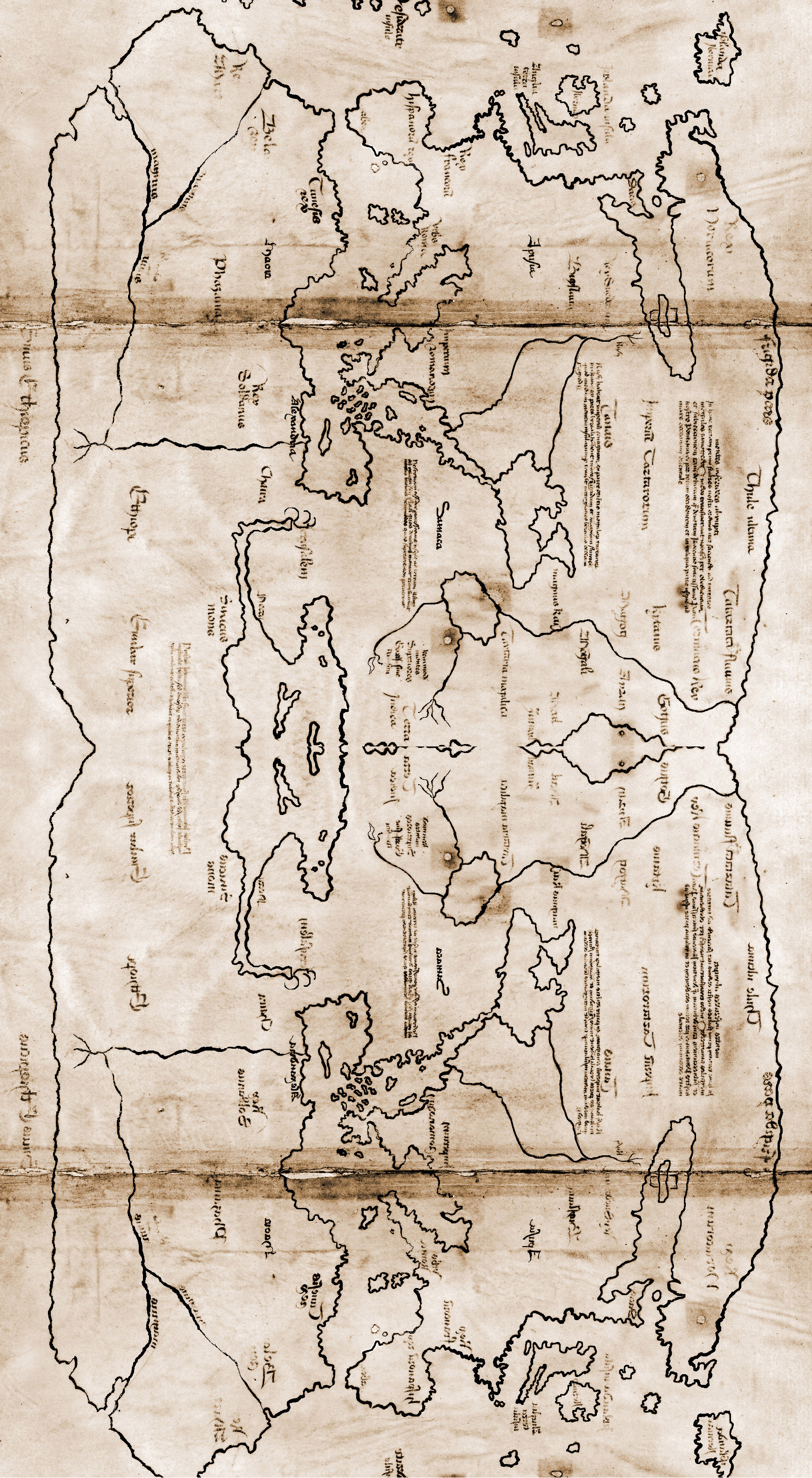
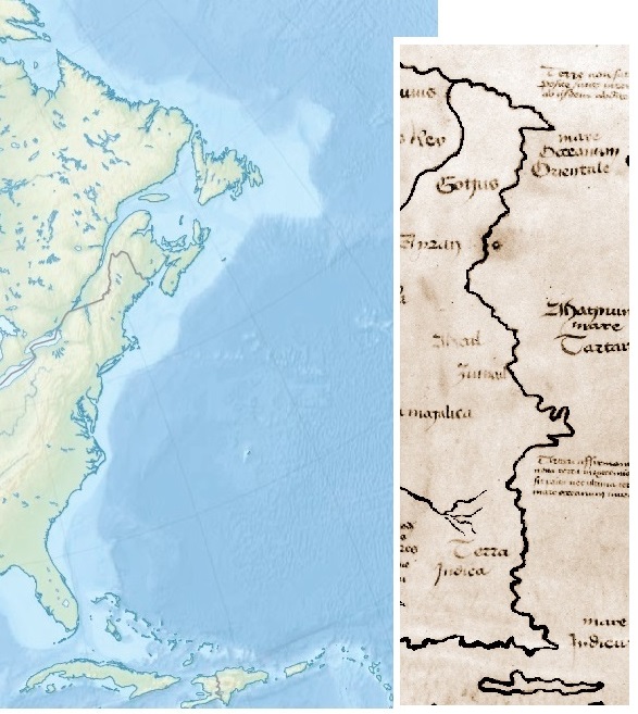
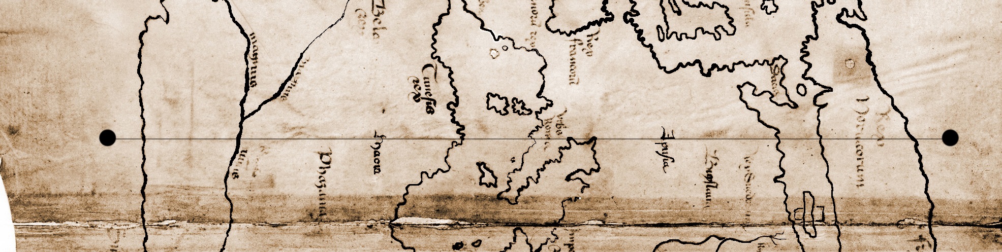
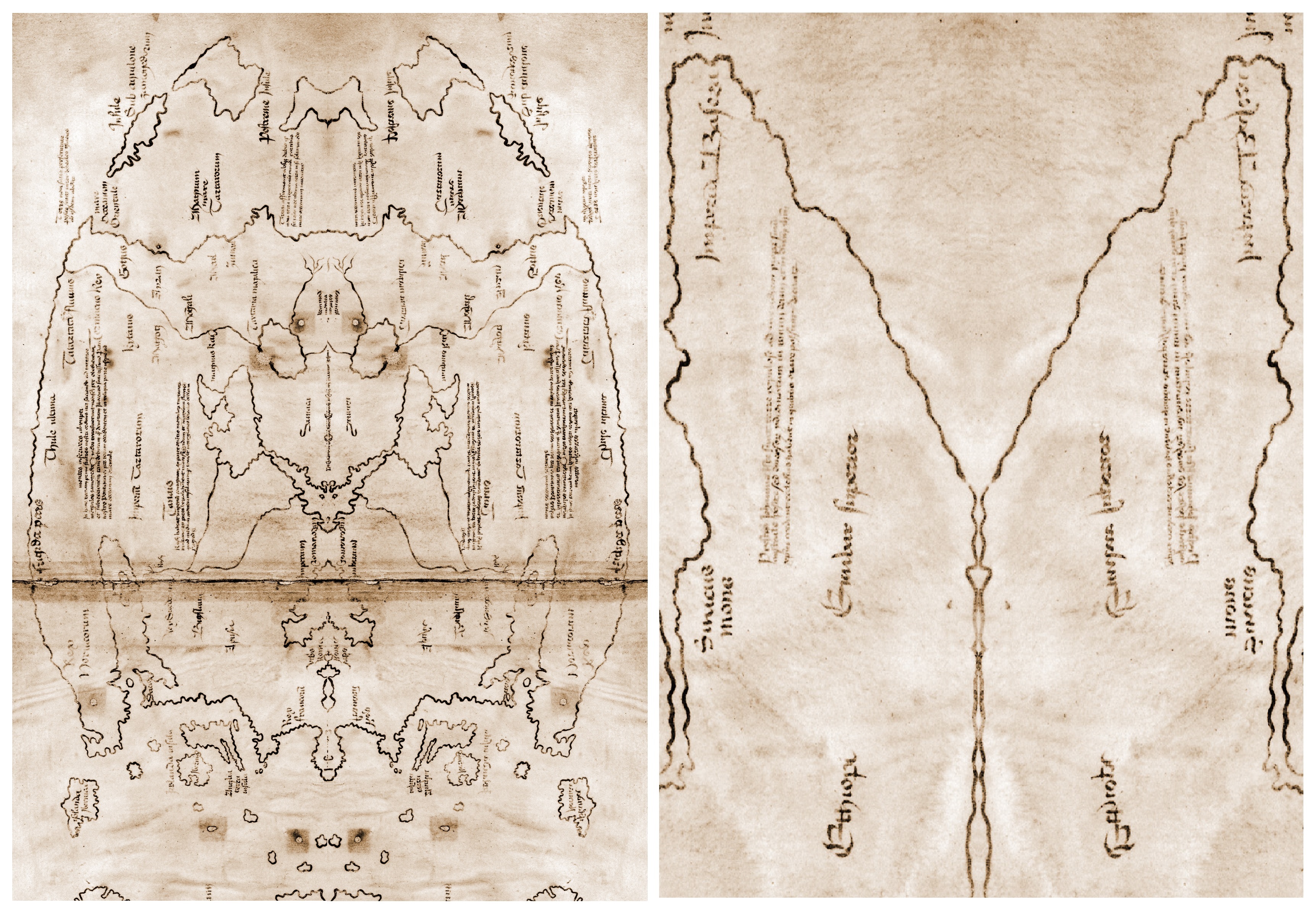
Vinland Map. Photo by Yale Univversity.
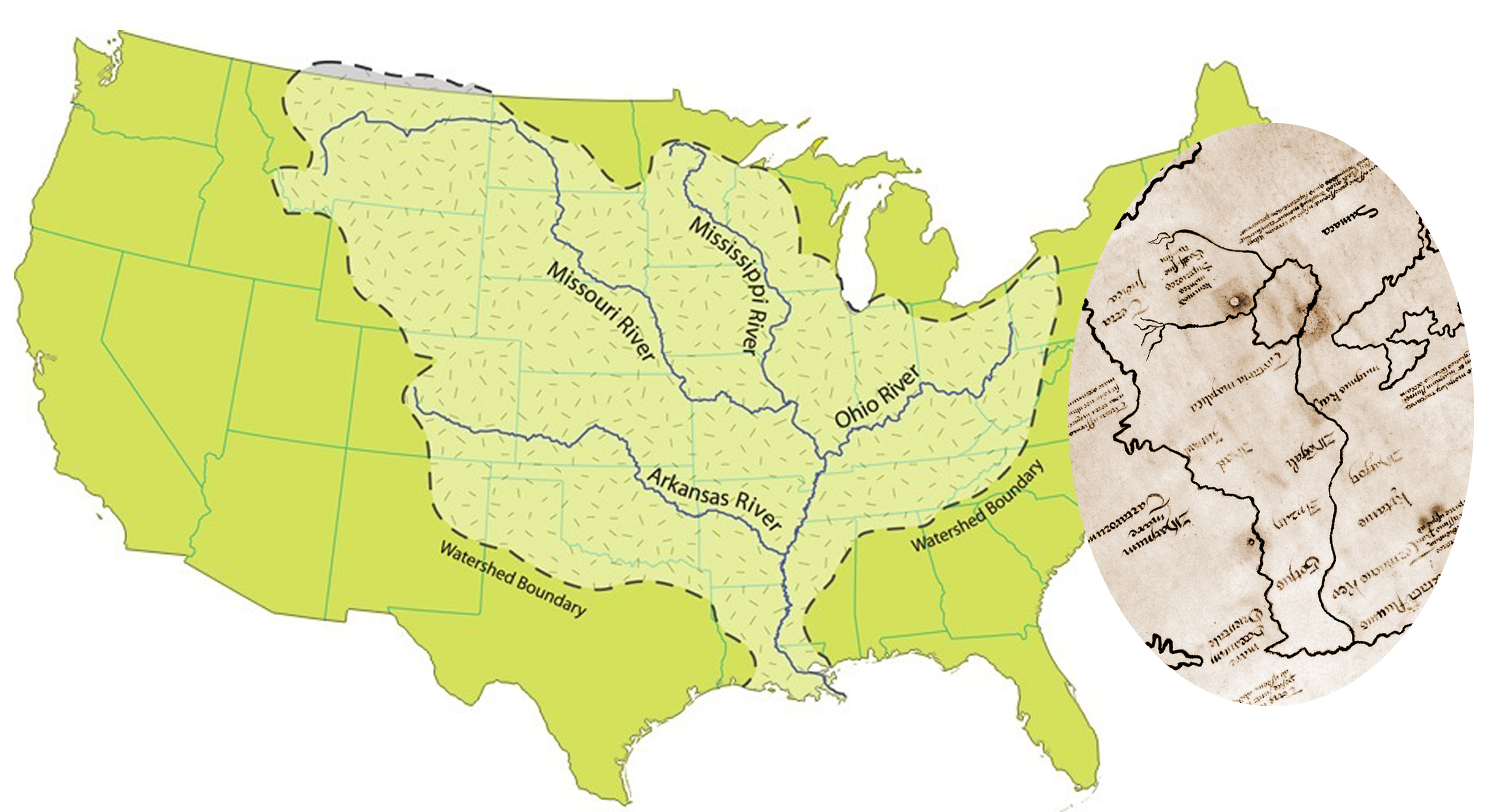
The secrets hidden in the Vinland Map (image) are many. Hopefully you have had time to discover Oystein’s signature and make your own Hudson Bay map.
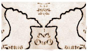
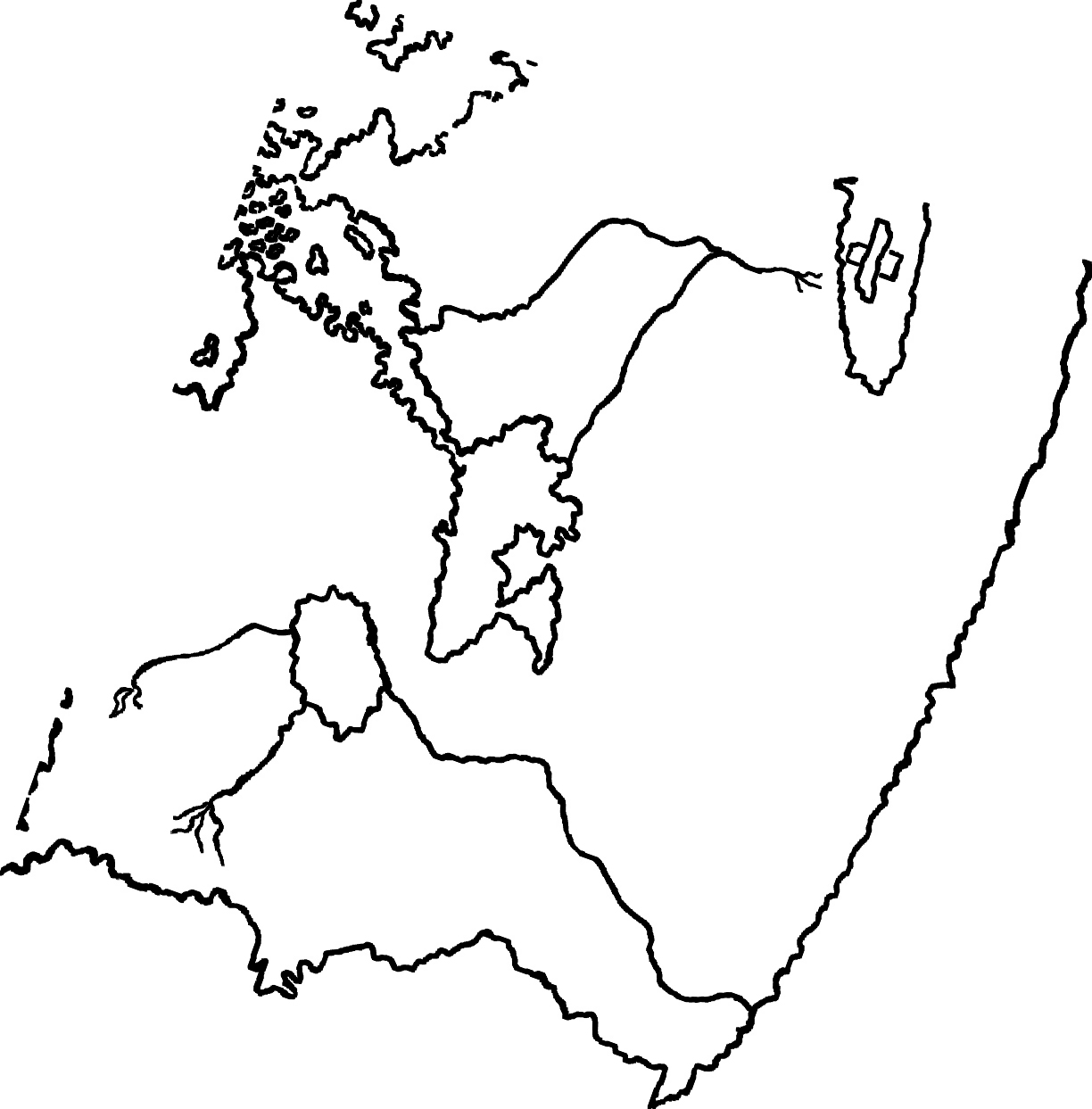
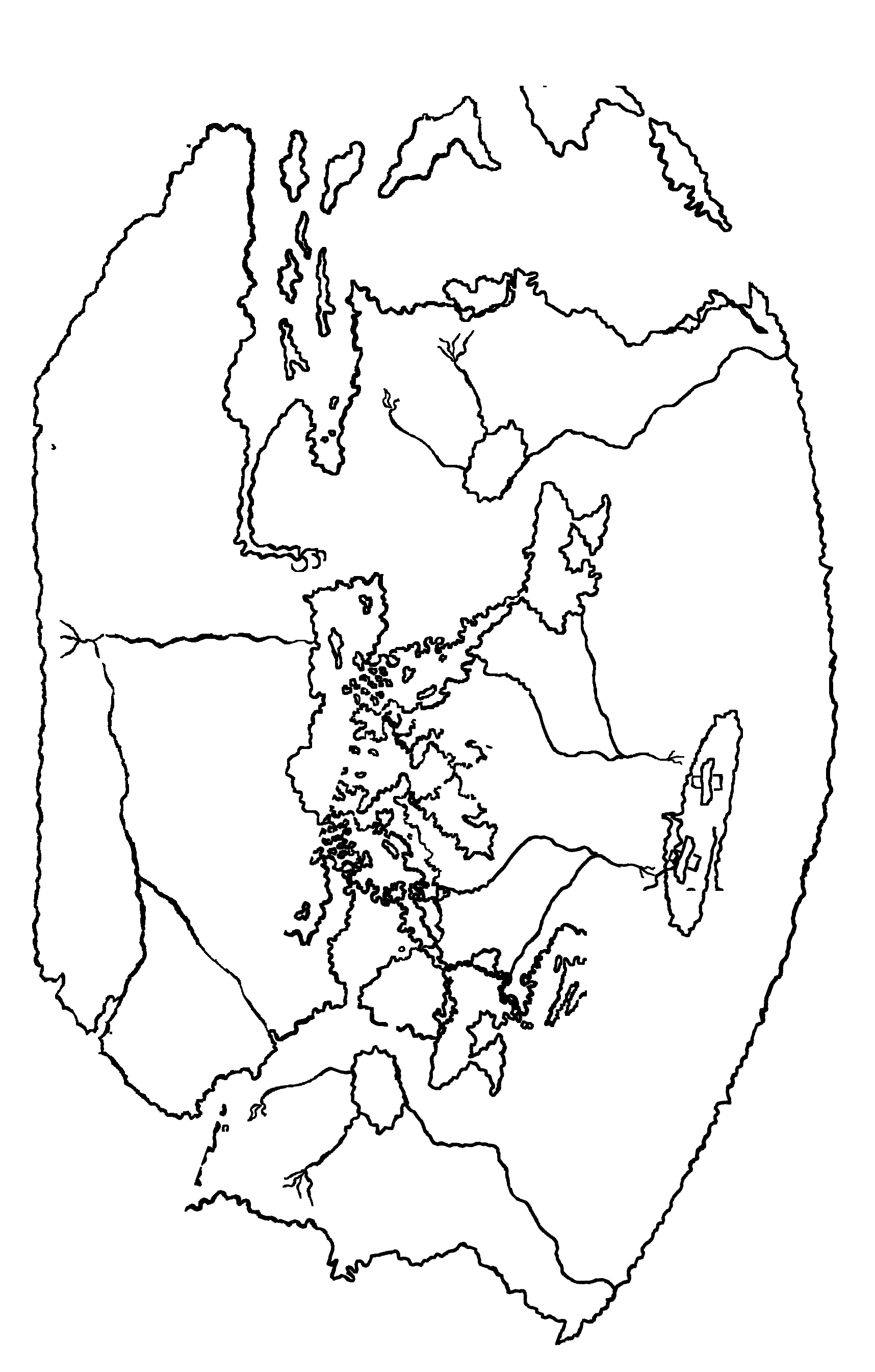
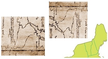
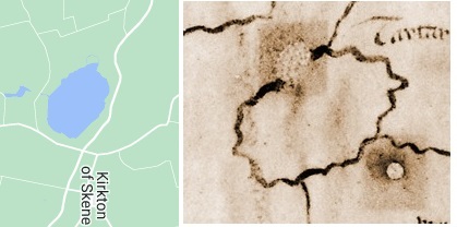
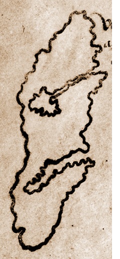
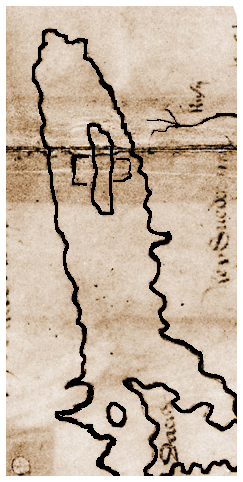
There are just a couple more interesting pictures to show. Thanks to Photoshop the reader need not strain his eyes to see the Squirrel and Bird hidden in the map. There is one other creature to be found but that is up to the reader. It is a Bear.

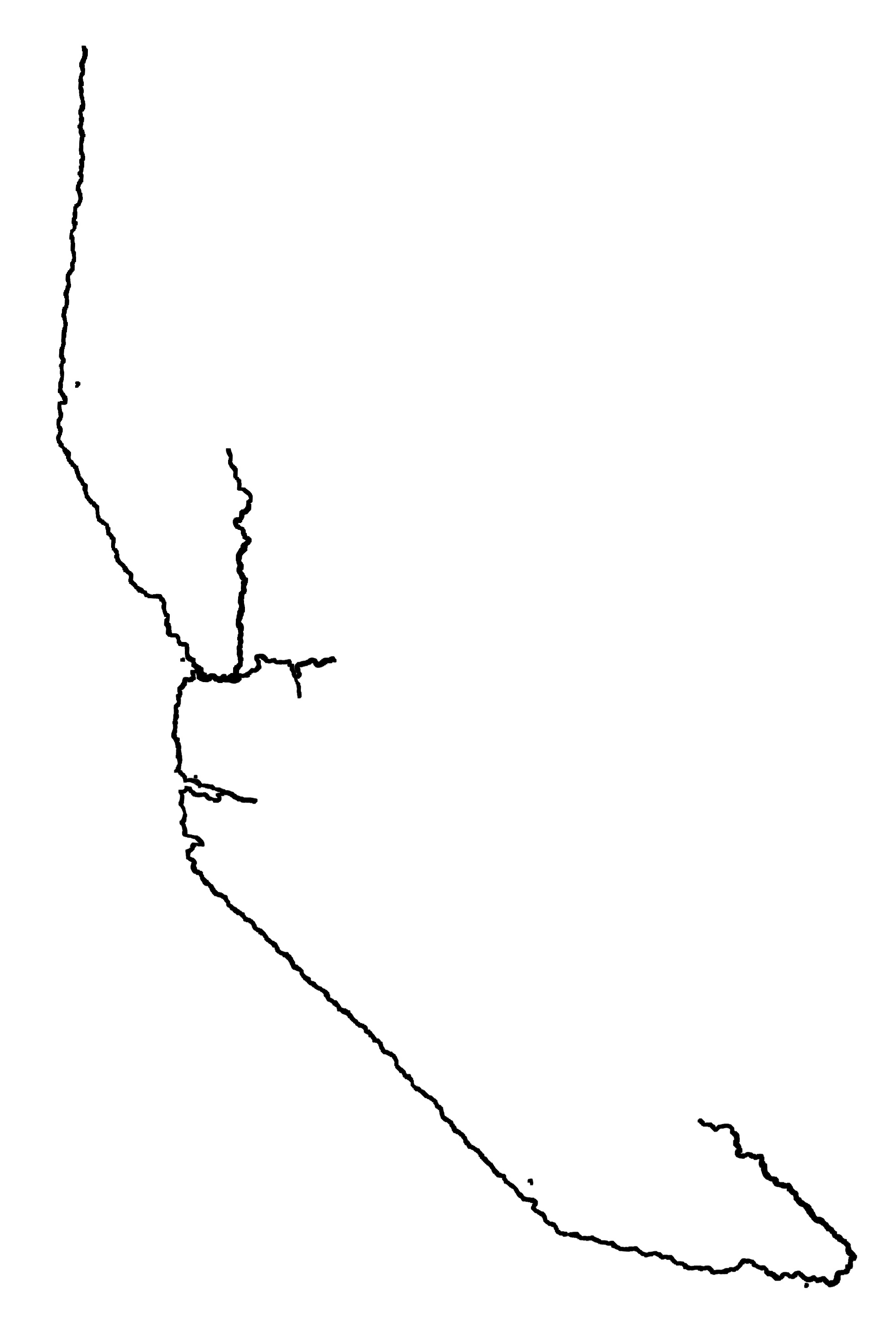
The Bird
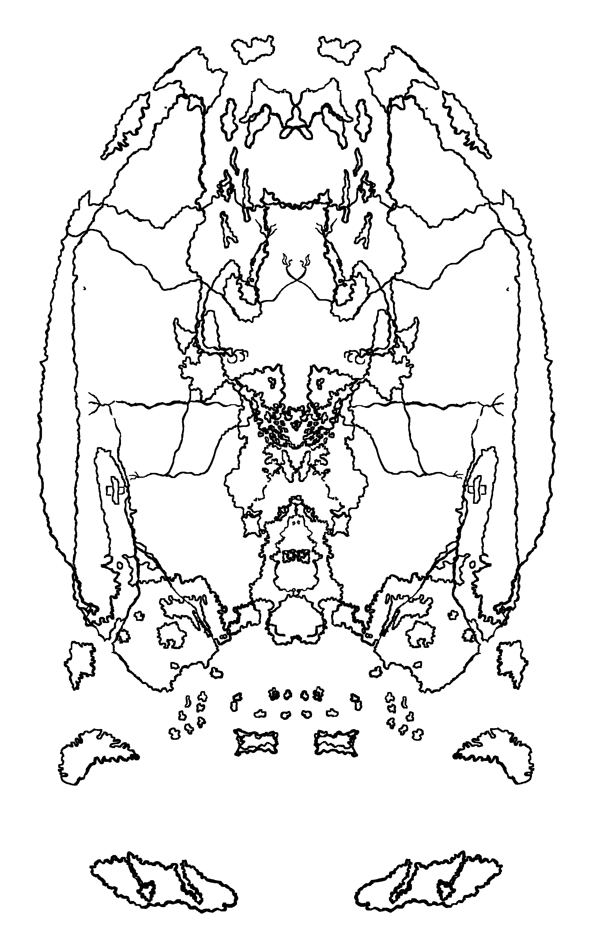
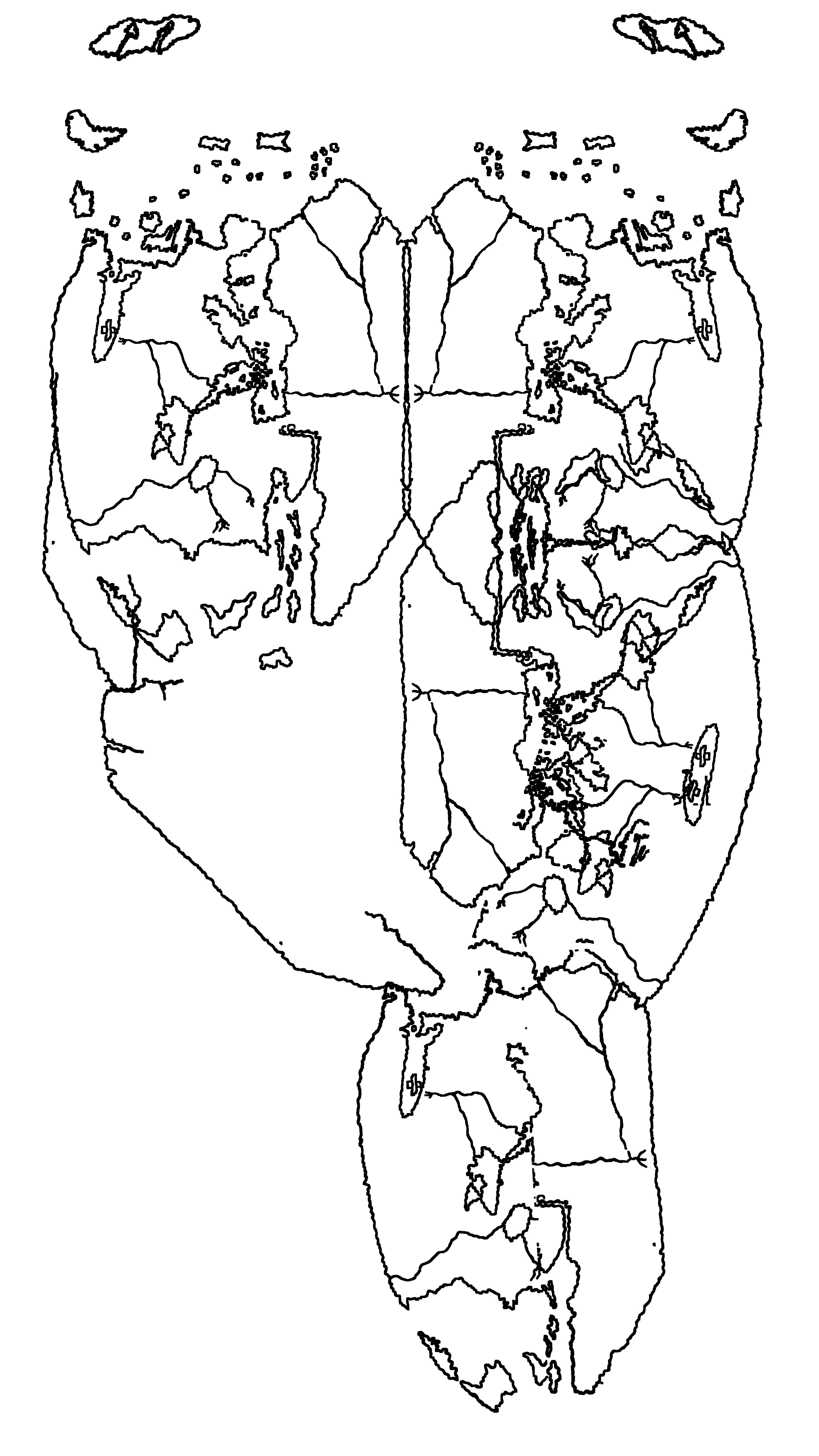
The Squirrel
The three animals are part of the story. It is the Bird that has the most significance though. In the story, it is a Jay. In real life, Oystein Magnusson took on many personas. He also acquired an alias. The bird represents that alias. It is one we still know today.
Sigurd described him in his later years. Historian Snorri relates that Sigurd complained that ‘some dark force had taken over Norway.’ Indeed, it might be said that when you have an enemy as brilliant as Oystein it is best to keep him in plain sight, like on a throne. The last thing one should do is fail to assassinate him and be duped into thinking one had succeeded. In so doing, Sigurd created a true enemy. So in the end, the map is indeed a very real treasure map.
And to the reader who hopes there might be more to be found, it is strongly suggested that one peruse ever so carefully the two books linked below.
The Vinland Map Cipher is the anagram study of the map.
A narrative version of King Oystein’s life based on the ciphers and historical records.
The Vinland Map Cipher Addendum is a pdf of images that may not be included in the two books.
Enjoy. Enjoy. Enjoy. And may your travels be safe and bear fruit!
Last Post – Next Post
Similar articles by same author:
** For numeric background see:
**Freeborn, B.L., Validating North American Runic Inscriptions, noahsage.com, November 2022. PDF only.
Freeborn, B.L., The Vinland Map Ciphers, noahsage.com, December 2025. Book only see post.
Freeborn, B.L., The Vinland Map Ciphers Addendum, noahsage.com, December 2025. PDF only.
Freeborn, B.L., Ancient Riddles to Test Our Wits: The Secret Chamber, noahsage.com, January 2016. Post here.
Freeborn, B.L., Another Riddle in Stone from Canada, noahsage.com, August 2025. Post here.
Freeborn, B.L., Deciphering the Spirit Pond, Nomans Land and Narragansett Runic Inscriptions, noahsage.com, November 2022. Amulet post. Map stone post. PDF only.
Freeborn, B.L., Et in Arcadia Ego – OUOSVAVV DM – Deciphered, noahsage.com, December 2022. Post here.
Freeborn, B.L., Kensington Rune Stone: A New Translation, noahsage.com, February 2023. Post here.
Freeborn, B.L., Runic Riddles: Time Capsules, noahsage.com, December 2022. Post here.
Freeborn, B.L. The Long Debated Bourne Stone, noahsage.com, January 2023. Post here.
Freeborn, B.L., The Nomans Land – Leif Eriksson Inscription, noahsage.com, December 2022. Post here.
Freeborn, B.L., The Narragansett Inscription: A Translation with its Date of Dedication, Author and Inscriber, noahsage.com, October 2022. Post here.
Freeborn, B.L., The Newport Tower: Finding the Date of Dedication, its Designer and Builder, noahsage.com, October 2022. Post here.
Freeborn, B.L., The Wawa Stone and Its Viking Ship, noahsage.com, August 2025. Post here.
Freeborn, B.L., Rok Rune Stone and its ciphers, noahsage.com, November 2024. Post here.


