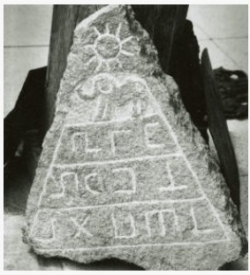
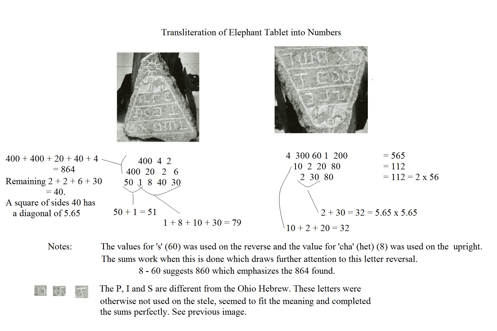
© 2017 B. L. Freeborn
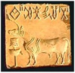
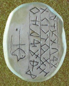
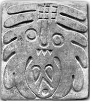
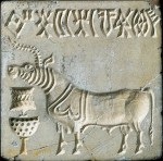
Indus Valley Seal A.
Another ancient riddle presents itself in the Indus Valley seals written in a script which has defied translation. We are in a unique position to make a few inroads into this mystery. A search of Indus Valley Seals shows that the bull at the manger was a common motif so it is worthy of analysis. The message on each of these three seals is obviously different yet the symbolism is remarkably familiar.
Find in the image ….
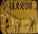
Indus Valley Seal B.
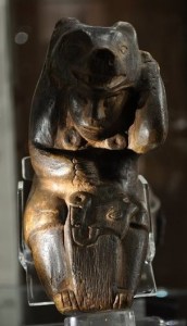
Ba’al is like a bull.
The serpent like comets were like horns upon a bull.
Upon the covering of the mighty one they left marks like eyebrows.
The pole moved lower.
Indus Valley Seal C.
Now there is a cup on it.
Around it and in it are many cup marks.
The pole of measures now lies above it.
It came to the pole to eat.
——————————-
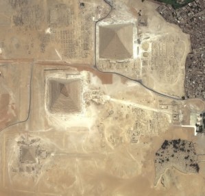
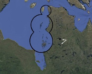
The familiar symbolism assures us that these images refer to the double comet impact which formed the Nastapoka Arc and Hudson Bay amidst the mighty two mile thick ice sheet..
Observe the first two glyphs on Seal A are very nearly Hebrew (M) and (I). The double square is also reminiscent of the Metcalf Stone’s first symbol or a dagger.
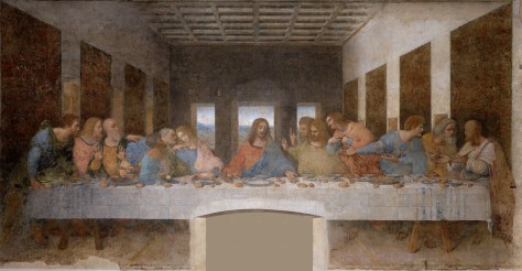
The third symbol suggests the up/down triangles noted in the previous post and seen in Da Vinci’s art, the Grave Creek Stone and other places. By connecting them to the oblong circle it further suggests the idea of the mountain that became a deep round abyss.
Like in the Grave Creek Stone some of the glyphs are elevated on a peak or delta which make the two glyphs in the center of Seal B appear to be fish but they probably suggest the ‘crater above’ or the ‘crater that delineates.’
Note the symbol immediately to the right of these looks like a comet entering a crater suggesting the idea of an impact.
The two parallel lines are seen on the Newberry Tablet and suggest longitude and/or latitude lines.
On Seal C the Hebrew letter for (Sh) is also elevated and the glyph is reminiscent of the menorah. The symbol third from the right, also elevated, appears to be a mountain that has been shot. Immediately to the right is a glyph like dual flames reminding one of Ba’al which literally means both fires.
Further still, many of the symbols are nearly identical to Luwian Hieroglyphs.
Perhaps with these few clues someone will be able to translate the script…..!!!